Click to enlarge image
Coastal Routes
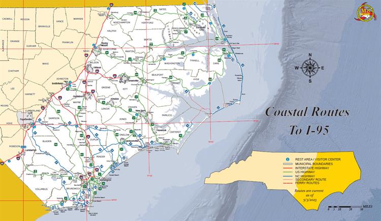
Many
interstates and major highways to and from coastal North Carolina can accommodate heavy traffic volumes and have higher speed limits to allow motorists to leave threatened areas more quickly and efficiently than using local roads.
Know Your Zone
Using a color-coded map, Know Your Zone is a tier-evacuation system that identifies areas most at-risk to hurricanes, tropical storms and other events. The system, developed by the
N.C. Department of Public Safety, aims to help those in affected communities with personal readiness, avoid unnecessary evacuation travel and increase public safety.
Travel Resources
Frequently Asked Questions
Emergency responders cannot be everywhere at once. Law enforcement officers, the
NCDOT Safety Patrol and other personnel are typically positioned along the major evacuation routes to help motorists. Straying from these routes increases the risk of getting stranded or lost.
If possible, leave with a full tank of gas and have plenty of water and non-perishable foods on hand since grocery stores and restaurants might not be open. For more information, visit
ReadyNC.org, a comprehensive resource for emergency preparedness, weather conditions, evacuations and other emergency management information.
If you run out of gas or experience trouble with your vehicle during an evacuation, move it safely to the shoulder of the road to reduce unnecessary congestion. During a major evacuation, NCDOT's goal is to have the
NCDOT Safety Patrol available to help keep lanes clear and traffic moving.
No. Wait for the water to recede before you drive. Even if it appears to be shallow, moving water is powerful enough to push a car off the road and strand its passengers within minutes.
You also cannot be sure exactly how deep the water is or what is lying beneath its surface. It could be concealing a large sinkhole or piece of debris, both of which could cause serious injuries and damage to vehicles.
If you must drive, be sure to use extreme caution, obey all posted warning signs and follow
NCDOT's guidelines for driving on hazardous roads.
Nuclear Emergencies
There are routes designated for evacuation in the event of an emergency at any of the nuclear power plants in or around North Carolina. Additional information about nuclear preparedness is available at
Duke Energy's website.